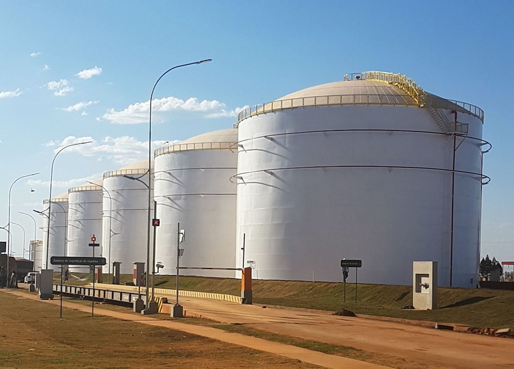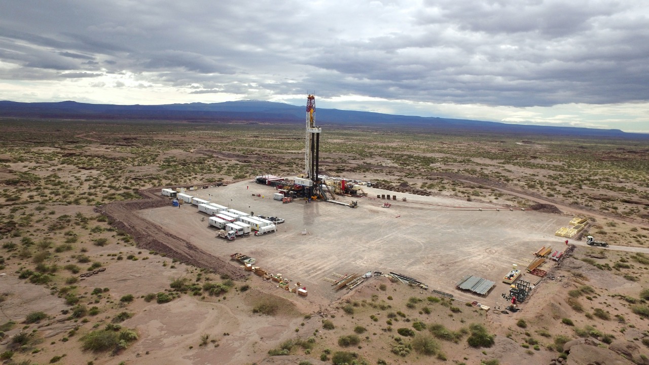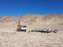
(Argentina Lithium & Energy Corp., 21.Mar.2022) — Argentina Lithium & Energy Corp. (TSXV: LIT) (FSE: OAY3) (OTC: PNXLF) commenced advanced geophysical imaging surveys at its Rincon West Lithium Project, located at the Salar de Rincon in Salta Province, Argentina. The deep-seeing Transient Electromagnetic Sounding survey will image the sub-surface of the basin, and facilitate target definition for the follow-up drilling program planned for the second quarter of 2022.
Argentina Lithium’s Rincon West Project covers 2470 hectares of the western flank of the Rincon Salar basin, adjacent to the Rincon Mining PTY Ltd. project acquired by Rio Tinto in December of 2021; the Company has an agreement to acquire a 100% interest in Rincon West (28 September and 14 October 2021 and 16 March 2022 news releases). Rincon West has not previously been drilled, but covers a continuation of the Rincon basin where Rincon Mining and Argosy Minerals Limited have identified significant lithium resources.
“Prior work at the Rincon Salar indicates the basin is very prospective for high-value lithium brines. Acquiring advanced sub-surface resistivity data at the Rincon West Project will provide vital information on the lithium potential and extent of brine within the property. With these data in hand, we expect to quickly move to drill testing the project to validate the targets, and to assess grade and estimates of brine content of the host formations”, stated Nikolaos Cacos, President and C.E.O.
Transient Electromagnetic (“TEM”) Sounding surveys will be executed by Toronto-based Quantec Geoscience Ltd., through their Argentinean subsidiary. Quantec is a leading provider of electromagnetic imaging techniques, as applied to mineral exploration. The survey plan for the Rincon West project is to comprehensively cover the project with continuous TEM transects, with sounding sites spaced at 200 metre intervals along 39 line-kilometres of survey lines. The depth of the TEM data will vary depending on ground conditions, but the Company expects that images can be obtained from shallow levels to in-excess of 500 m depth.
____________________